RingMoGPT: Advancing Remote Sensing with Multimodal Large Language Models
Xuan-Ce Wang
12/15/20242 min read
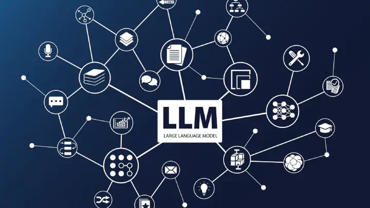

RingMoGPT utilizes multimodal large language models (MLLMs) to address some of the challenges in the field of remote sensing, aiming to create a unified foundation model for vision, language, and grounded tasks in remote sensing. This model is specifically designed to address issues related to object-level recognition, location, and the analysis of multi-temporal changes.
Key Advancements of RingMoGPT in Remote Sensing
1. Overcoming Limitations in Existing Remote Sensing Models:
Many existing remote sensing models concentrate primarily on visual recognition tasks, focusing on image-level features while neglecting text-based semantic understanding and lacking robust reasoning capabilities. RingMoGPT aims to overcome these limitations by unifying visual and language understanding.
2. Addressing Data Limitations:
Existing open-source visual language datasets for remote sensing are limited in size and often lack detailed, object-level information. This makes it difficult to train models for complex tasks. RingMoGPT addresses this issue by utilizing:
· A Large-Scale, High-Quality Pre-Training Dataset: This dataset contains over half a million image-text pairs and includes detailed descriptions that cover all objects of interest within an image. This detailed information, going beyond general scene descriptions, helps the model learn object-level features.
· A Million-Level Instruction-Tuning Dataset: RingMo-VL1M, the largest instruction-tuning dataset in remote sensing, includes 1.6 million image-text pairs and covers a wide range of downstream tasks, including scene classification, object detection, visual question answering, image captioning, grounded image captioning, and change captioning. Training on this diverse dataset allows the model to learn from multiple instructions and perform well on various tasks.
3. Enhancing Capabilities for Object-Level Analysis:
Most existing MLLMs struggle with object-level tasks, especially in multi-temporal scenes, as they primarily focus on static images and their descriptions at a single point in time. RingMoGPT incorporates specific modules to address this limitation:
· Location- and Instruction-Aware Querying Transformer (Q-Former): This module helps improve the model's accuracy in locating objects within images by utilizing learnable semantic and location queries. The semantic queries extract semantic features to align the visual encoder with the language model, while location queries focus on identifying specific objects of interest.
· Change Detection Module: This module enables the model to analyze and describe changes between two input images, making it suitable for change captioning tasks.
4. Achieving Strong Performance Across Various Remote Sensing Tasks:
RingMoGPT has been evaluated on 18 datasets across 6 tasks, demonstrating its versatility. The results show that the model performs well in tasks like:
· Image Captioning: Generating detailed natural language descriptions of remote sensing images.
· Scene Classification: Categorizing remote sensing images into predefined scene categories.
· Visual Question Answering: Answering questions related to the content of remote sensing images.
· Grounded Image Captioning: Describing specific regions within a remote sensing image along with their location information.
· Object Detection: Identifying and locating different objects within a remote sensing image.
· Change Captioning: Describing changes between two multi-temporal remote sensing images.
5. Exhibiting Strong Generalization Capability:
RingMoGPT has also shown good performance in zero-shot settings, indicating its ability to generalize to unseen data and tasks. This is particularly important in the context of remote sensing, where new data is constantly being acquired.
Conclusion
RingMoGPT represents a significant step forward in the application of MLLMs to remote sensing. By creating a unified model that integrates vision, language, and localization capabilities, RingMoGPT pushes the boundaries of what's possible in remote sensing analysis and opens new doors for future research and applications in the field.
